
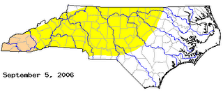
 The yellow shading indicates "abnormally dry" conditions. The darker shading represents a "moderate drought." The previous drought monitor had portions of the Triangle under a moderate drought. Tropical Storm Ernesto and other recent rainfalls helped with that. In fact, the Raleigh-Durham Airport is well ahead of normal for the month and year now thanks to heavy rains from late Monday night and Tuesday morning. RDU now has a surplus of over 4" for the year.
In other weather news today, we continue to track Tropical Storm Florence --
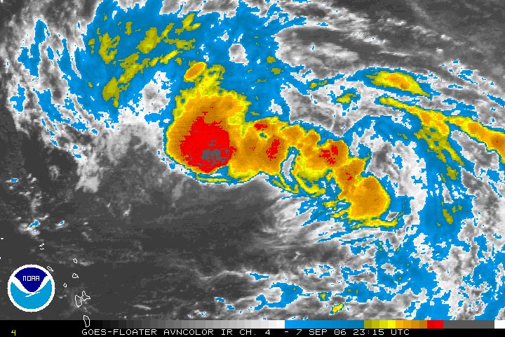 The storm did not strengthen during the day Thursday, but is still forecast to become a hurricane by early in the weekend. Computer models are in agreement that Florence will take a more northerly turn this weekend keeping the storm away from the U.S. coastline. That is good news for us and bad news for Bermuda, which could be right in the storm's path Monday.
 I would encourage you to stay informed with the latest track on Florence, especially until it takes this forecasted turn. As always, you can tune in for our tropical updates at :21 after the hour on News 14 Carolina.
No comments:
Post a Comment