
While we are enjoying cool temperatures and some sun today, part of that developing storm is producing heavy snow in Colorado where blizzard warnings are in effect for some locations.
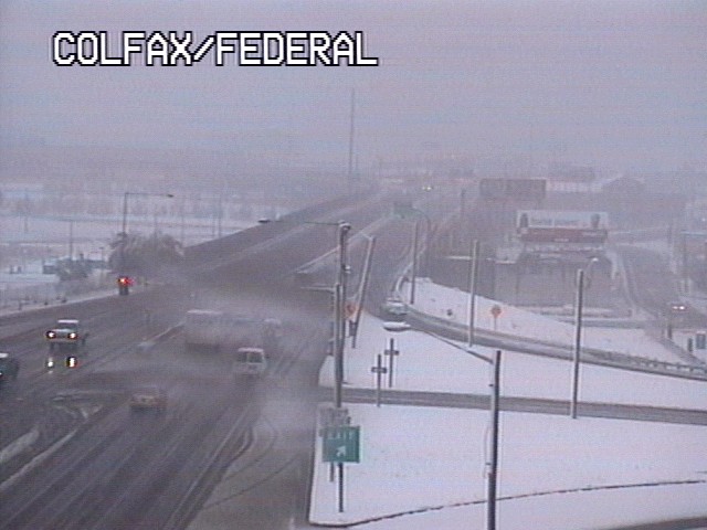
Take a look at a traffic camera today from Denver...
 and another from Colorado Springs ...
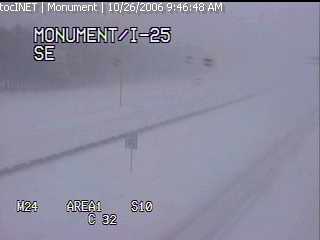 As of midday Thursday, the Denver airport had recorded about 4 inches of snow, but some spots in Colorado have reported well over a foot.
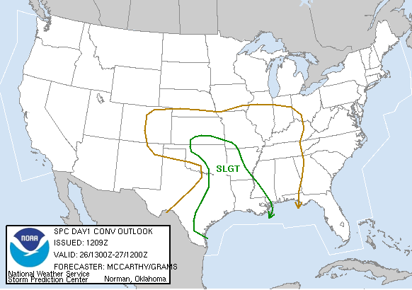
As the storm moves east late this afternoon, stormy weather is possible over the south central U.S. The Storms Prediction Center is watching an area from east Texas to Oklahoma to Louisiana for the possibility of severe storms today --
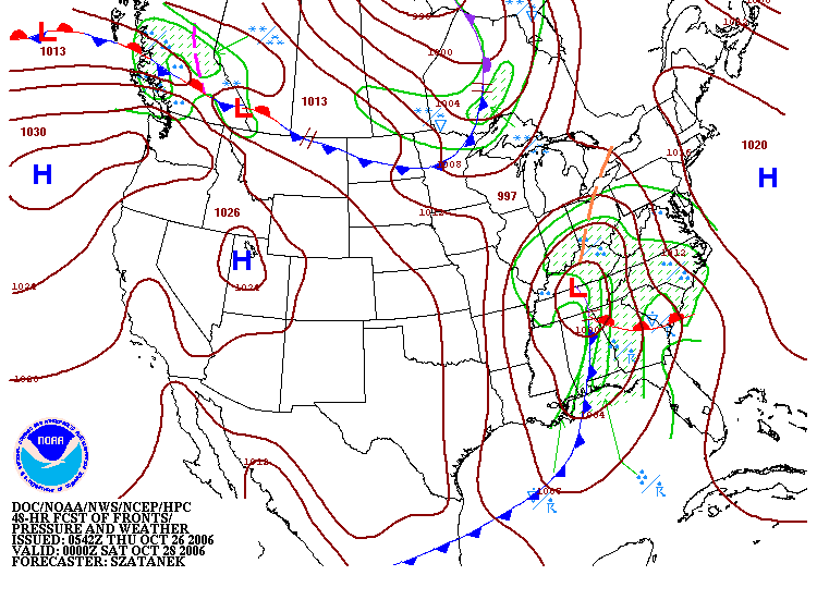
The storm system will continue to track to the east into the day Friday bringing us more clouds tonight and eventually a few showers in the morning. While we don't expect severe weather in our viewing area at this time, the rain could really pick up Friday afternoon and Friday night.
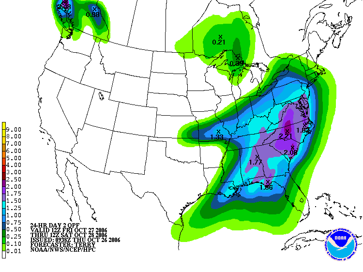
 How much rain could we pick up from this storm? Many of us will likely see between one and two inches of rain. However, some spots especially around the Triad may see closer to three inches!
 The bright spot in the forecast will come by midday Saturday through Sunday. The rain may continue into early Saturday morning, but it will move to our east bringing more sunshine our way by Saturday afternoon.
No comments:
Post a Comment