
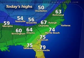
Yesterday many of us recorded highs well into the 70s --
- Asheboro: 79
- Fayetteville: 79
- Henderson-Oxford: 79
- Lexington: 79
- Lumberton: 79
- Smithfield: 79
- Burlington: 77
- Erwin: 77
- Louisburg: 77
- Raleigh-Durham: 77
- Rocky Mount-Wilson: 77
- Southern Pines: 77
- Chapel Hill: 76
- Greensboro: 76
- Mount Airy: 75
- Winston-Salem: 75
Temperatures near 70 are likely again today in the Sandhills while the rest of us will see highs in the 70s.
From our forecast high temperature map, you'll notice the cooler temperatures to our north and west. That cooler air is settling into North Carolina and that will lead to a chilly Friday and a cool weekend. After a starting the morning in the 30s, highs tomorrow afternoon should not get any warmer than the low 50s. Then the really cold temperatures will come late Friday night and early Saturday morning as lows drop to the upper 20s.
Don't forget to bring those sensitive plants inside today and make sure your pets have a warm place to stay!
No comments:
Post a Comment