
The Severe Storms Prediction Center (www.spc.noaa.gov) has placed portions of our state under a slight risk for severe weather for today.
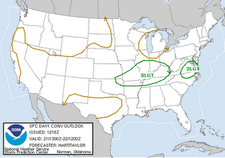
The slight risk areas outlined for Friday on the map above are areas that the Storm Prediction Center are watching across the country for severe storms to pop-up. With our warm and humid atmosphere today, our biggest threat from thunderstorms will again be gusty winds, heavy rain, and frequent lightning.
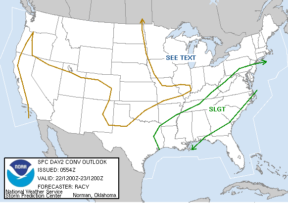
There are really no big changes coming up for the weekend, except the storms may be more numerous. A cold front will move toward North Carolina and that will serve as the focus for storms. We should start Saturday morning with some sun, which will warm temperatures into the upper 80s to near 90. That daytime heating will add instability to the atmosphere meaning storms that develop during the midday and afternoon hours will have plenty of energy to work with. Because of that, the Severe Storms Prediction Center again has our area under the slight risk for severe weather on Saturday --
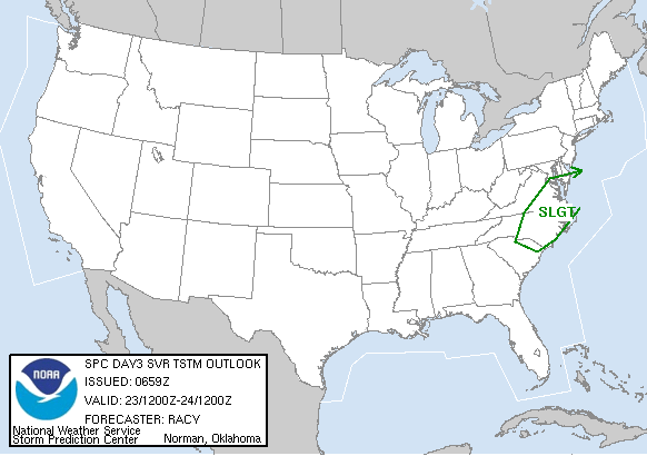
And, the front that will bring showers and storms our way on Saturday will be slow to move through the state. As it hangs around for Sunday, we could again see more showers and storms. With a little sun possible Sunday morning, we may once again be looking at some showers and storms. Here's the severe weather risk map for Sunday --
It could be quite the active weekend in the Weather on the Ones Forecast Center. When you need an update on the latest conditions and the chance for storms, just switch over to News 14 Carolina. We're always here with weather updates every 10 minutes. In the event the storms get rough, we'll interrupt our regular programming and provide you with continuous severe weather coverage.
For you weather enthusiasts that often snap photos of developing storms or storm damage with your digital photos, we'd like to see your pictures! You can e-mail your weather photos and storm reports when its safe to do so to weather@news14.com. If you have questions about this weekend's forecast for stormy weather, feel free to ask them in the comment section below.
No comments:
Post a Comment