
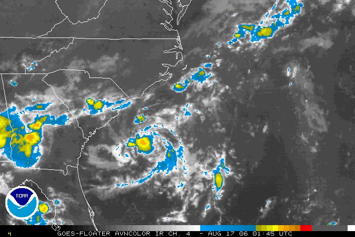
 The National Hurricane Center sent a hurricane hunter aircraft into the system Wednesday afternoon, but only found maximum winds around 25mph. This low still has a small window of time to become a tropical depression, but by late Thursday it will encounter upper level winds that are not favorable for tropical development. Those upper level winds will likely act to shear the disturbance apart. Even if it did become a weak tropical depression, it should not impact the North Carolina coastline.
 Our forecast looks partly cloudy into the weekend. For more on the tropics, watch our tropical update at :21 after the hour. You can also find more information online at www.nhc.noaa.gov
No comments:
Post a Comment